
"I think that I cannot preserve my health and
spirits, unless I spend four hours a day at least — and it is commonly more
than that — sauntering through the woods and over the hills and fields,
absolutely free from all worldly engagements."
- Henry David Thoreau

 |
| Coast to Coast sign by Frank's Bridge, coming out of Kirkby Stephen |
Day Eight: from Kirkby Stephen to Keld (14.5
miles/23 km)
Summary
of Route: This is a notable day: by the end of
today's hike you will have passed the half-way mark of the Coast to Coast Walk;
you will have begun to cross the Pennines; you will have traversed the
west-east watershed (from the top of Nine Standards Rigg, rivers will flow
either west to the Irish Sea or east to the North Sea); and you will have
entered the Yorkshire Dales National Park — the second of three National Parks encountered
in this hike across northern England. Finally, you will have left Cumbria
behind, and crossed into the county of Yorkshire (North Riding) — ending the
day in Swaledale, the most northerly of the Yorkshire dales.
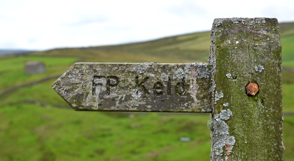
 |
| "Keld is that way." |
This
stage is a couple of miles (3 km) longer than the previous one. It is quite an
easy hike: the climb early in the day is a fairly gentle ascent; and the rest
of the walk is either level or downhill. But the boggy and muddy conditions
through most of the day can make the hiking tougher than it ought to be.
 |
| We cross a cattle grid about once a day |
 |
| Sheep on the road just outside Kirkby Stephen |
The
first-third of today's hike is a steady climb up to Nine Standards Rigg. You
start the day by crossing the Eden River on Frank's Bridge, on the eastern edge
of Kirkby Stephen. From there you walk up to Hartley village, and then on past
a large quarry and up Birkett Hill to Hartley Fell. On this fell, about five
miles out from town, you face a decision — there are three alternate routes to
Keld to choose from.
 |
| Crossing a stream going up Birkett Hill |
The
so-called Red and Blue routes take you east to Nine Standards Rigg. From there
the Blue Route continues east and then — just past the Craygill Sike — you head
south, following the Whitsundale Beck, until you meet up with the Green and Red
routes just west of Ravenseat Farm.
The
Red route diverges from the Blue route just a little way past Nine Standards
Rigg: instead of going east, the Red route heads south. It takes you over White
Mossy Hill and down to meet the Green route.
The
Green route is the simplest of the three choices. It avoids Nine Standards
Rigg; and in bad weather is probably the wisest choice. It takes you down to
the head of Rigg Beck, which you follow for a while and then cross. Now you
walk across limestone pavement on your way down to the road (B 6270). You enter
the Yorkshire Dales National Park and follow the streams of Black Scar and Ney
Gill to Ravenseat Farm.
 |
| A rest-stop on Birkett Hill |
From
Ravenseat Farm, you hike south over hilly meadows, following the Whitsundale
Beck. The trail takes you past the Cotterby Scar, a limestone cliff next to the
river. You cross the beck to the road, and walk a short distance into the
hamlet of Keld.
 |
| Climbing up to Nine Standards Rigg at top of Hartley Fell |
 |
| The northern end of the Nine Standards Rigg monument |
Today's
hike was not very strenuous — of average length and not too much steep
climbing. But things were more difficult than they ought to have been, because
of the conditions. But, thankfully, no rain today! The high ascent came at the
beginning of the walk: the first three miles, or so, featured a steady climb
out of Kirkby Stephen, up Birkett Hill to the summit of Hartley Fell (at a
height of about 650 metres). Half way up there is a rest spot — a large bench
built of rocks and stones. A bit further on there is a point of trail-diversion:
you can go south on the Green Route (the shortest and easiest path); or you can
go east on the blue and red routes to the Hartley Fell summit.
 |
| Nine Standards Rigg |
 |
| Southern end of Nine Standards Rigg -- waiting to be "photo-bombed" |
The place
at the summit is also known as Nine Standards Rigg, because a curious monument,
known as the Nine Standards, sits there. It is a collection of nine standing
stones, or cairns. Both the original purpose and the actual age of the cairns
is unknown: they might be designed to mark the border between Cumbria and
Swaledale (they are placed just 700 metres west of the boundary of the
Yorkshire Dales National Park); and they could be at least 2,000 years old.
 |
| An example of the boggy conditions up on Red and Blue Routes |
 |
| The Red and Blue Route diversion -- looking like The Somme |
It's
difficult getting a single photograph that shows effectively the entire line of
nine groups of stones. While we were there we watched two hikers who had arrive
ahead of us, climbing up onto several of the cairns, despite the fact that they
under constant threat of weather erosion and damage due to human interaction.
They had a selfie-stick, which they put to good use. And when I got Tony to get
a photo of me next to a couple of the cairns, one of them shouted, "Do you
mind if I photo-bomb you". Well ...
 |
| Hiking across the moorland of the Blue Route -- trying to avoid bog and wet areas |
Soon
after the Nine Standards the trail again divides: you can go south on the Red Route;
or make your way further east towards the Craygill Sike and the Whitsundale Beck.
We decided to follow the Blue Route. The place where the Blue and Red Routes
diverge has suffered incredible erosion because of the large number of boot-wearing
hikers that come through this place. The black peat has been badly worn away.
 |
| Whitsundale |
 |
| Whitsundale |
The
walk east across the moor is also difficult because of the large number of
boggy crossings across streams and wet areas. At many places, you have to take
a wide diversion around the mess, looking for a spot where your boots will not
sink deeply into the mire. All through here it is wet grass, heather, and sedge.
 |
| Approaching Ravenseat Farm in Whitsundale |
Eventually
we got to the Whitsundale Beck and began to hike south along the western edge
of the meandering stream. The trail all the way down here was also muddy and
buggy. And the conditions were made even more difficult by the presence of
loads of midges. These are tiny biting insects who leave itchy spots on the
skin, like mosquitoes. When we stopped for lunch, we crossed on to a small
island in the centre of the shallow beck — hoping that the bugs wouldn't be so
bad there. No such luck; the midges disrupted our peace, and the lunch-stop was
cut a bit short. They continued to harass us all the way down the valley. The
next day I found little bumps from the bug-bites across my forehead, up my
forearms, and around my ears and upper jaw. Very annoying.
Quote of the Day:
"... drag and plant ..."
- woman at
Ravenseat Farm
(explaining
to Tony the proper technique for using walking poles)
 |
| Cute dog at Ravenseat Farm |
 |
| Another cute dog at Ravenseat Farm |
A
short while later we arrived at the place where the three alternate trails met.
And from there we walked on to the nearby Ravenseat Farm. Here you can buy mugs
of tea, or "cream teas". They also offer B&B and camping. We sat
at a picnic table with our mugs of tea and struck up a conversation with a
woman who had a lovely terrier with her. She was with a large group of
farm-folk who were participating in a special tractor ride for charity. Just
before we resumed our hike, the entire entourage went over to the tractors and
prepared to resume their convoy. I waited for a few minutes, and then got some
good shots of the wide variety of tractors (some of a vintage type) as they
moved on.
 |
| The tractors leave on their charity convoy |
 |
| A tractor's special passenger |
From
the farm, the trail became mostly hilly fields and meadows. We continued to
follow the Whitsundale Beck. Eventually we climbed down to a road, which also
paralleled the river. On the north side of the water we passed some limestone
cliffs, and a couple of camping sites (including one which contained several yurts).
And then we arrived at the Keld Lodge, which is located on the "main
road" just south of the Keld village.

The
Keld Lodge featured a hot "drying room" — designed primarily to dry
out all the muddy and wet hiking boots arriving each day. I took advantage and
washed two shirts, two pairs of socks, and my mud-covered rain pants
(trousers). They were nice and dry by the morning.
 |
| Crossing stone bridge to B6270 near Keld |
Oh,
and we enjoyed a complimentary meal at this hotel, courtesy of our
accommodation-arranging company — because of the mix-up in Kirkby Stephen the
previous night.
 |
| The Cotterby Scar (limestone cliff) on the Whitsundale Beck |
"The true charm of pedestrianism does not lie
in the walking, or in the scenery, but in the talking. The walking is good to
time the movement of the tongue by, and to keep the blood and the brain stirred
up and active; the scenery and the woodsy smells are good to bear in upon a man
an unconscious and unobtrusive charm and solace to eye and soul and sense; but
the supreme pleasure comes from the talk."
- Mark Twain
 |
| On the road just before Keld Lodge |
Dedication
This hike is dedicated to
Bill and Barb Cannon.
(see
the end of my blog post for Day One for details)
Resources:
Coast
to Coast Path (Sixth Edition - 2014) by Henry
Stedman;
Coast to Coast: West
- Harvey Map XT40


